3D GPS Modeling
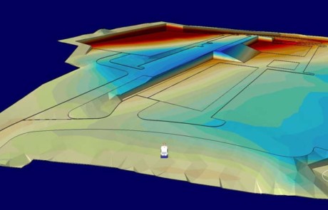
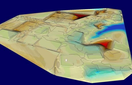
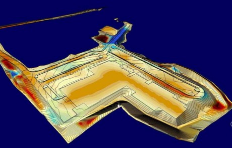
Sitetech Inc., utilizes the latest in GPS technology for both site surveying/layout and machine control. We simply utilize the CAD file and control points the surveyor/engineer have already produced and utilize that to build 3D site models, 3D utility trenches, and develop quantities and information to assist us in analyzing and laying out a construction site. From estimating, to pre-construction surveys, construction layout, machine control, verifications and final as-builts we make sure to utilize the technology at our hands.


